REMONITOR
Satellite InSAR
Satellite-based Synthetic Aperture Radar Interferometry (InSAR) is an innovative remote sensing technology that provides detailed monitoring of surface deformations over time.
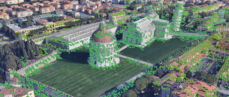
Utilizing radar sensors on satellites, this technique offers unparalleled precision, over large areas, for extended periods (decades). Archived satellite data from 1992 onward also enable retrospective studies.
We operate across Brazil and abroad
Infrastructure instruments for the energy, transmission, mining and transport sectors. Tell us what your project needs to monitor.