REMONITOR
Terrestrial InSAR
Terrestrial Synthetic Aperture Radar Interferometry (TInSAR) is a cutting-edge technology designed for ground-based monitoring of structural and surface deformations.
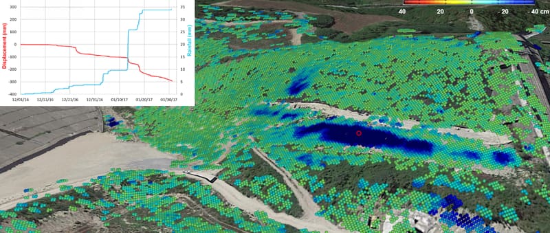
By deploying radar systems on fixed or mobile platforms, TInSAR delivers highly accurate sub-millimeter displacement measurements in real time. This versatile technology enables precise, continuous monitoring of both natural and man-made features, making it an essential tool for proactive risk management.
We operate across Brazil and abroad
Infrastructure instruments for the energy, transmission, mining and transport sectors. Tell us what your project needs to monitor.