REMONITOR
PhotoMonitoring™
Transform your camera into a geotechnical and structural monitoring system.
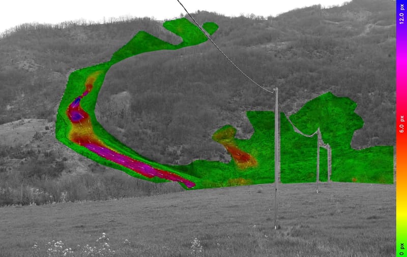
PhotoMonitoring™ is REMONITOR’s advanced, proprietary technology that enables precise monitoring of geological, geotechnical, and structural assets. Leveraging high-resolution imaging and automated analysis, PhotoMonitoring provides unparalleled insights into changes and deformations of critical infrastructure.
We operate across Brazil and abroad
Infrastructure instruments for the energy, transmission, mining and transport sectors. Tell us what your project needs to monitor.