

GEOKON
Official and exclusive representation in Brazil for the full range of geotechnical and structural monitoring instruments.
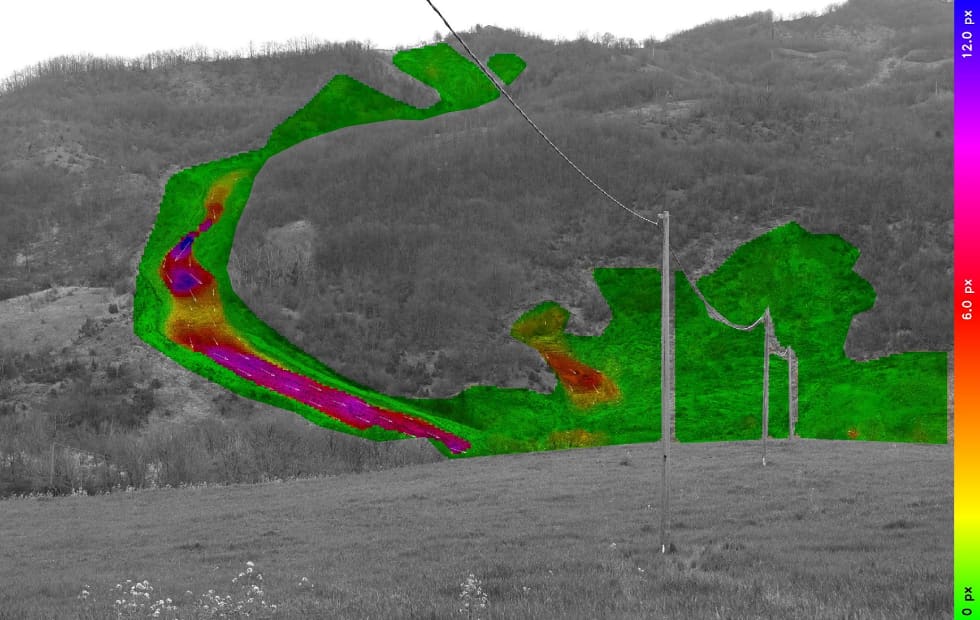
Remote monitoring of ground and structural deformation with millimetre precision, through terrestrial and satellite radar interferometry (InSAR) and photomonitoring.
Part of the Italian NHAZCA group, REMONITOR specialises in the assessment and monitoring of geological and infrastructure risks, with a team of engineering, geology and remote sensing experts.
All three technologies measure displacement without installing sensors on the structure. Satellite InSAR covers wide areas and allows retrospective analysis back to 1990. Terrestrial InSAR acquires data continuously, at high frequency and without reflectors. PhotoMonitoring™ quantifies movement from camera, drone, aircraft and satellite imagery, with automated processing in the IRIS software.
Official and exclusive representation in Brazil for the full range of geotechnical and structural monitoring instruments.

Wireless data transmission from the field sensor to the client's software, with no infrastructure work on site.

The world's first composite distributed fibre optic sensors (DFOS), suited to structural health monitoring.
Distributed sensing system that monitors built and natural structures continuously and over long ranges.

Instrumentation of concrete and steel structures, with live load testing and technical diagnosis.

High-precision dataloggers and multiplexers for field data acquisition, built for years of unattended operation.
Ultrasonic sensors for precise distance and level measurement, resistant to water, corrosion and shock.

Tilt and distributed settlement measurement in dams, tunnels and railways, with fast field installation.
Infrastructure instruments for the energy, transmission, mining and transport sectors. Tell us what your project needs to monitor.